Class 7 | SST
Chapter 1 | Geographical Diversity of India
Aligned with CBSE | NCERT | School & Olympiad Standards
Focus on What Matters Most
The67Sprint
The Gondwana Story
- India was once part of Gondwana, a landmass near Africa.
- ~50 million years ago it collided with the Eurasian plate, folding the land upward.
- This collision continues today — Himalayas rise ~5mm every year.
The67Sprint
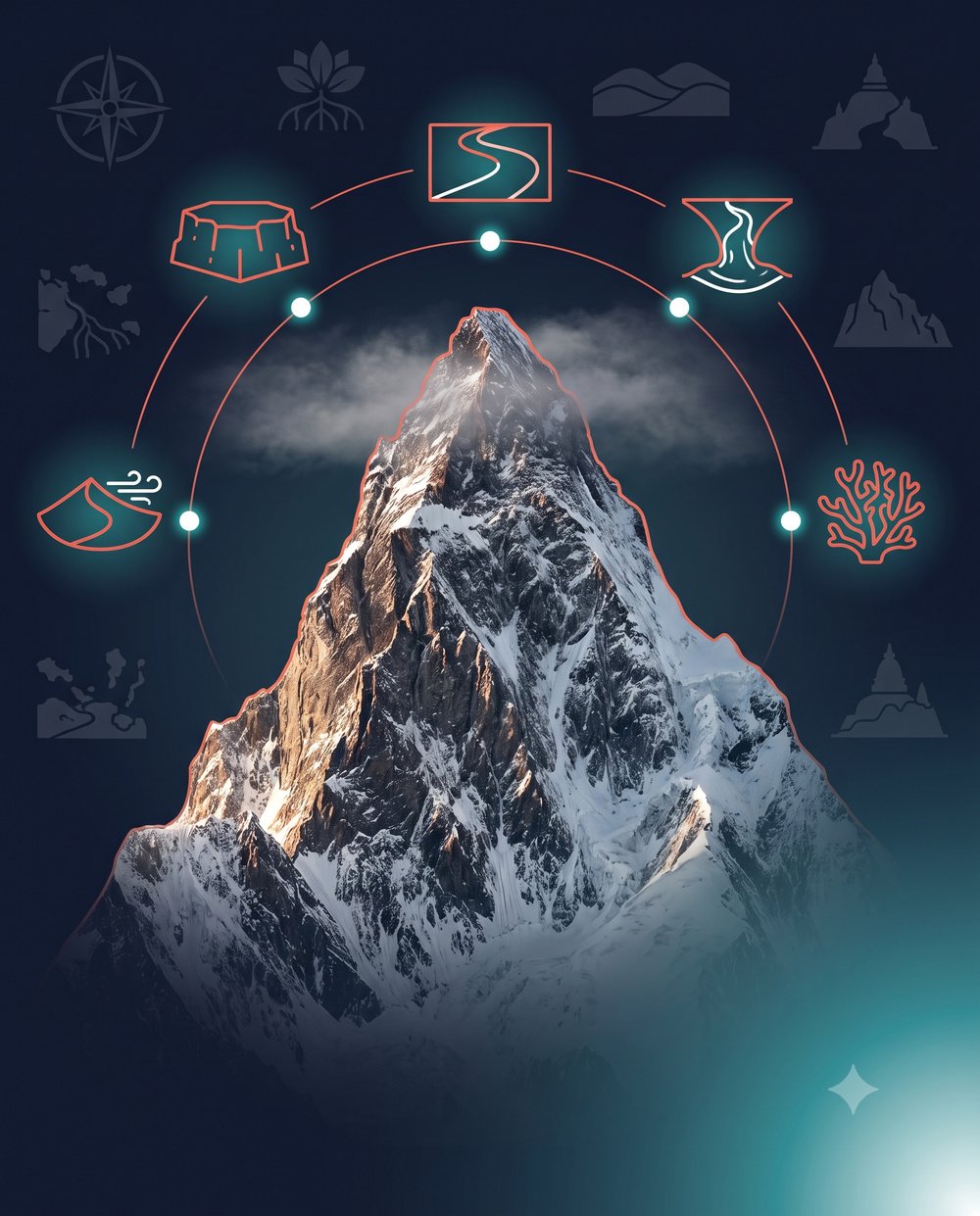
Six Physical Divisions
- Himalayas — the Northern mountain wall
- Northern Plains — fertile alluvial belt
- Peninsular Plateau — the ancient triangle
- Thar Desert — the arid North-West
- Coastal Plains — East (wide) & West (narrow)
- Islands — Lakshadweep & Andaman-Nicobar
Mini-Continent
7th Largest
Himalayan Triple Layer
Himadri (snow peaks) → Himachal (hill settlements) → Shivalik (forest foothills).
The67Sprint
Quick Recall — Sprint Facts
Himalayan Length2,500 km
Oldest MountainsAravalli — 2.5 billion yrs
Cold DesertLadakh — reaches −30°C
Active VolcanoBarren Island (Andamans)
Largest DeltaSundarbans
Lakshadweep36 coral islands, Arabian Sea
The67Sprint
Key Terms
🔑 Archipelago
A group of islands — e.g. Lakshadweep, Andaman & Nicobar.
🔑 Perennial River
Snow-fed river that flows year-round, e.g. Ganga, Indus.
🔑 Estuary
Funnel-shaped river mouth where fresh & salt water mix (West Coast).
🔑 Delta
Triangular silt landform at a slow river's mouth, e.g. Sundarbans.
Olympiad & Challenger
🏆 The 8,000ers
Himalayan peaks exceeding 8,000m — only elite mountaineers attempt these.
🏆 The Moonland
Ladakh's rugged, rocky terrain resembles the moon's surface — hence "Moonland."
🏆 Sundarbans Uniqueness
A rare mix of river, sea & land ecosystems — home to the Royal Bengal Tiger.
🏆 Coral vs Volcanic
Lakshadweep forms from marine skeletons; Andaman & Nicobar from undersea eruptions.
The67Sprint
Northern Plains Density
Flat land + fertile alluvial soil → easy transport + farming → 40% of India's population lives here.
Why No Delta on West Coast
Narmada & Tapi flow down steep gradients at high speed, washing silt straight into the sea — forming estuaries, not deltas.
Aravalli as Shield
2.5-billion-year-old range blocks wind-blown sand, protecting Delhi & Haryana from Thar Desert expansion.
Kath-Kuni Homes
Himalayan houses layer wood & stone, letting the structure flex and absorb energy during earthquakes.
Tanka & Kund Harvesting
Thar Desert families store every drop of rain — modern engineers now study this for urban water crises.
Living Root Bridges
Khasi people of Meghalaya grow bridges from tree roots — found in Mawlynnong, Asia's cleanest village.
Coastline Confusion
East Coast is WIDE (~120km) with deltas; West Coast is NARROW (10–25km) with estuaries — students often reverse this.
Brahmaputra Trap
Most rivers are named after goddesses, but Brahmaputra means "Son of Brahma" — and grows bigger in summer from melting snow.
Sahyadri ≠ Himalaya
Sahyadri is the Northern Western Ghats — never confuse it with a Himalayan range.
The67Sprint
Logic Chain
Step 1
India (part of Gondwana) drifts north and collides with the Eurasian plate ~50 million years ago.
Step 2
The collision folds the Earth's crust upward, forming the Himalayas — a process still continuing today.
Step 3
Himalayan snow feeds perennial rivers like the Ganga, Indus & Brahmaputra all year round.
Step 4
These rivers deposit fertile alluvial soil, creating the Northern Plains — home to 40% of India's population.
🦉
Mentor Byte
Geography isn't just about maps; it's about how the land dictates your lifestyle. If you live in a desert, you clean utensils with sand to save water. If you live in the mountains, you weave root bridges. Learn the land, and you'll understand the people.
Parent Tip
Ask your child to trace a line from Jaisalmer eastward on a map — naming the Aravallis, Gangetic Plains, and Sundarbans in order builds real spatial memory.